We manage many parks, gardens and cemeteries throughout the county. Each is unique with its own history and characteristics, and all of them provide important benefits to our communities from recreation and wellbeing, to providing a healthy environment that is resilient to climate change.
The majority of these public open spaces are managed by the grounds and cleansing team. Other countryside sites and attractions are the responsibility of MonLife, our countryside and leisure section. Details of Monlife sites can be found on their web pages here.
Below are details of the main parks and gardens managed by the grounds and cleansing section. Click one of the headings below to be taken to that area.
Abergavenny
Linda Vista Gardens and Castle Meadows, Abergavenny
Click here to go to our Linda Vista Gardens webpage
Location references: 51.820973, -3.023971
Nearest Postcode: NP7 5DL
Grid Ref: SO295141
What3Words: sketch.resonated.slim
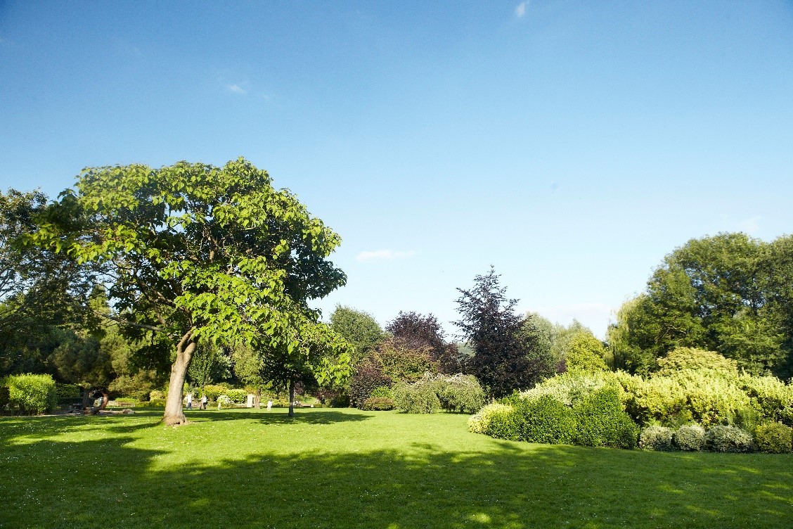
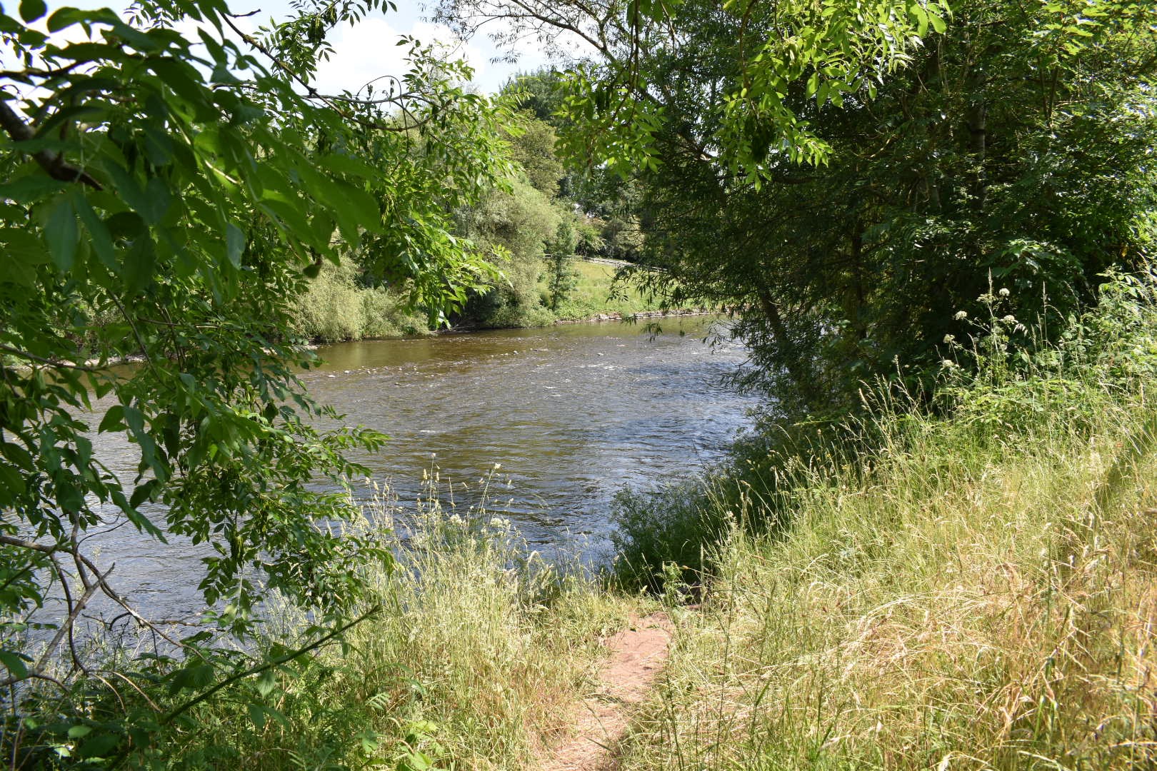
Linda Vista Gardens is a Grade 2 listed Victorian garden with a picturesque view over the river Usk to the Blorenge. The gardens are adjacent to Castle Meadows where you can walk along the banks of the Usk or head round to Abergavenny Castle.
An active Friends group of volunteers helps to maintain and develop Linda Vista Gardens.
Facilities and activities
- Café selling tea, coffee and light refreshments.
- Children’s natural play area
- Toilet facilities (key from the café during opening hours)
- Events, including a section of Abergavenny Food Festival
- Parking is available in the Bayfield car park adjacent to the gardens (Pay and Display at certain times).
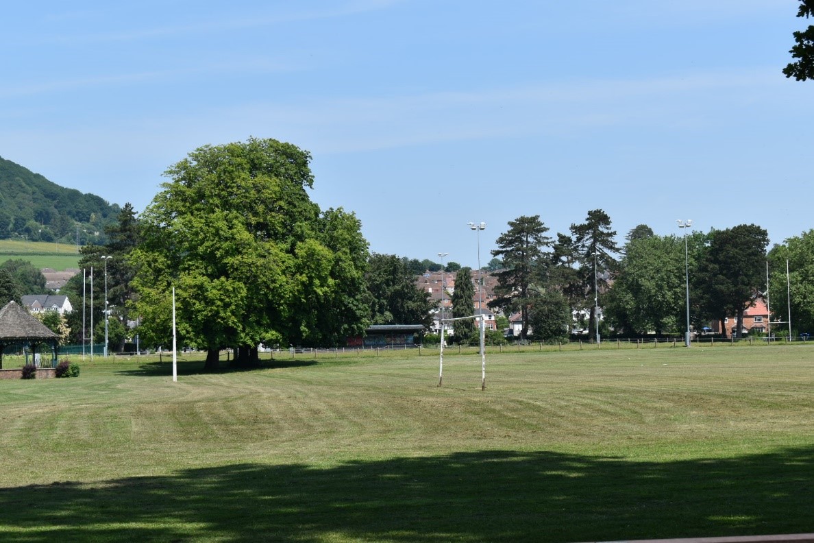
Bailey Park, Abergavenny
Location references: 51.826078, -3.015612
Nearest Postcode: NP7 5SS
Grid Ref: SO301146
What3Words: hologram.looks.scowls
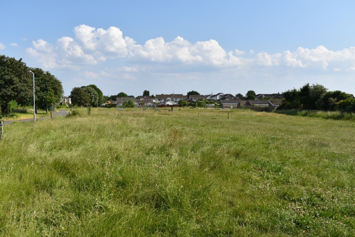
An urban park with grade 2 listed Victorian bandstand and gates. There are bowling and pétanque clubs, and playing fields that are home to local rugby and football clubs. There is a Friends group of volunteers who help support the park and maintain the sensory garden. The park has an excellent range of children’s play equipment is a popular venue for events in Abergavenny.
Facilities and activities
- Large Children’s play area
- Outdoor Gym
- Multipurpose hard court
- Petanque pitch (Boulodrome or Terrain)
- Bowling green
- Sports pitches and spectator stand.
- Bandstand
- Sensory garden
- Public toilet facilities (open during school holidays)
- Events including the Shire Horse show and Abergavenny Steam Rally
Pay and display parking is available in Fairfield Carpark adjacent to the park.
Castle Meadows – Monlife
Abergavenny Museum & Castle – Monlife
Castle Meadows and Abergavenny Castle are both managed by MonLife
Chepstow
The Castle Dell, Chepstow
Location references: 51.645389, -2.6706838
Nearest Postcode: NP16 5HF
Grid Ref: ST536942
What3Words: releasing.eruptions.pointer
An attractive naturally landscaped park, Castle Dell provides an alternative green route from Chepstow riverside to the top of the town, taking in views of the castle and historic town walls. The park includes grassy open spaces, mature trees, a community orchards and a children’s play area with picnic benches. Car parking is available at the lower end adjacent to the town’s tourist information centre and near the top of town at the main town car park off Welsh Street.
Facilities and activities
- Large Children’s Play area
- Community Orchard
- Public toilets in both adjacent carparks
- Tourist Information Centre (Castle Dell Car park)
Pay and Display parking at both Castle Dell car park and Welsh Street car park
Riverside Park, Chepstow
Location references: 51.645389 , -2.6706838
Nearest Postcode: NP16 5HF
Grid Ref: ST536942
What3Words: suits.dorms.overruns
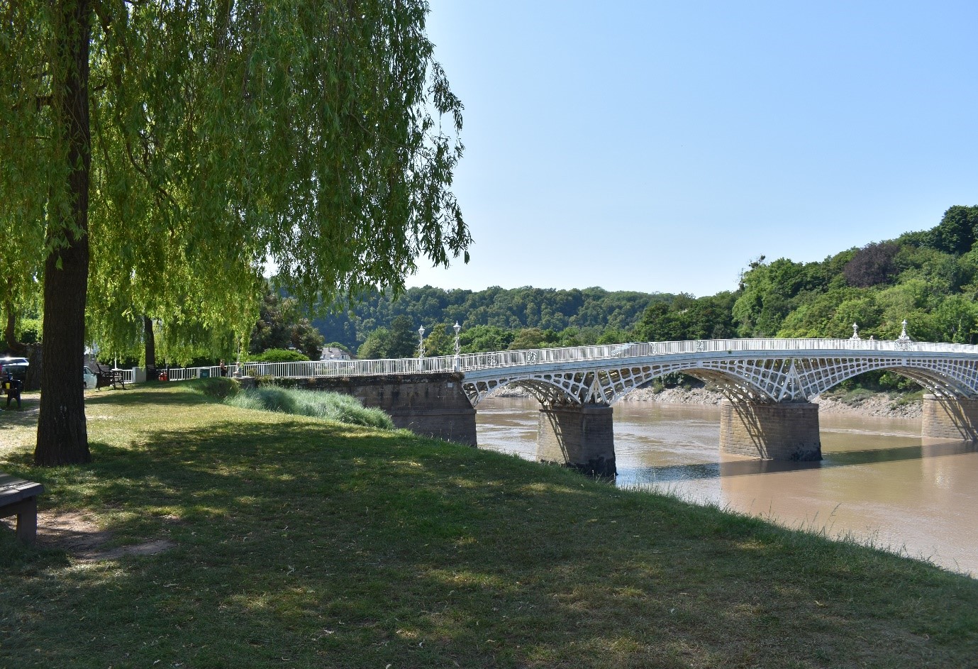
Situated on the banks of the River Wye with fantastic views of the cliffs and the old town bridge with opportunities to see the phenomenal tidal range of the Severn Estuary. The parks band stand hosts regular events throughout the summer and is a popular place for picnicking and seeing local wildlife including seals and peregrine falcons.
Riverside Park is also the starting point for the Wales Coastal Path and the Wye Valley walk. Offas Dyke path can also be reached within 300m by crossing the river Wye on the Victorian bridge by the entrance to the park on Bridge Street.
Facilities and activities
- Bandstand
- Regular events throughout the summer
- Access to three national trails
- Public toilets close by in Castle Dell Car Park
Caldicot
Cas Troggy, Caldicot
Location references: 51.596115 , -2.7536637
Nearest Postcode: NP26 4PW
Grid Ref: ST478888
What3Words: balancing.prompts.highly
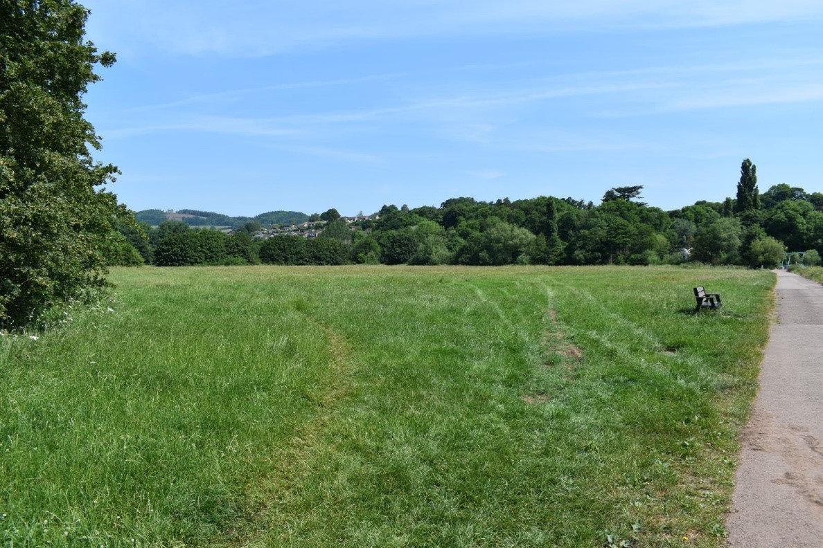
Cas Troggy Park and spine footpaths provide important green corridors through the North of Caldicot linking Caldicot Castle and the Town Centre with the residential areas of Cas Troggy and Church Road. The park is a mix of wild and formal areas with mature trees. It includes an informal football pitch, natural and traditional play areas. To the North, a public right of way provides a route under the M48 and out into the countryside towards the village of Caerwent that hosts some of the best Roman ruins in Wales. At the south eastern extent, via a short urban link, the open space is connected to Caldicot Castle and Country Park and then through to Portskewett via a new Active Travel route placing Catroggy park in the centre of a wider network of pedestrian friendly walks.
Facilities and activities
- Large children’s play area
- natural play area
- football pitch
- Allotments
There are no car parks close by and access is predominantly on foot or bicycle on numerous paths from the surrounding housing areas.
Monmouth
Chippenham fields, Monmouth Sports Association and Two Rivers Meadow, Monmouth
Location references: 51.808644, -2.715526
Nearest Postcode: NP25 3EF
Grid Ref: SO507124
What3Words: dance.point.toasters
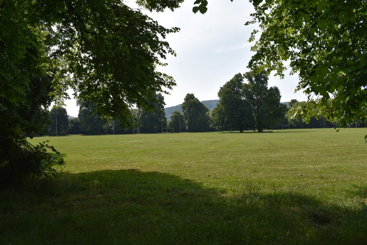
Originally a common, Chippenham Fields is now a registered Town Green. Much of the park is used by local sports clubs for matches or practice. The park has attractive avenues of trees and an excellent children’s play area installed in 2022. Monmouth sports association lease land adjacent to the fields where there is a bowls club, tennis courts and football, rugby and cricket pitches. Linked to “Chippy Fields” via a riverside walk is Two Rivers Meadow, a nature area, parts of which have been planted with trees and a community orchard. The riverside location at the confluence of the River Monnow and Wye makes this a popular place for enjoying wildlife and nature.
Facilities and activities
- Large modern children’s play area
- Treelined avenues
- Sports pitches and spectator stands
- Tennis courts
- Bowling green
- Allotments
There are several town centre Pay and Display car parks close by
Rockfield Park and wildlife corridors
Location references: 51.813925, -2.731915
Nearest Postcode: NP25 5SD
Grid Ref: SO496130
What3Words: interests.finishes.blissful
Rockfield park is situated in the centre of the Rockfield estate. The local community centre is a hub of local activity. The park’s football pitch is in regular use by local football teams and there is an attractive play area and fence dog exercise area. The park is served by surfaced paths along wildlife corridors from all directions many of which are linked to Community Nature Spaces designed for natural play.
Facilities and activities
- Community Centre with community growing area
- Large children’s play area
- Football pitch
- Goal posts
- Dog exercise area
Free parking adjacent to the community centre on Cornwallis Way
For more information about the community centre see their website:
Facilities | Rockfield Park Community Centre (rockfieldparkcc.org.uk)
Drybridge Park and Pond
Location references: 51.813925, -2.731915
Nearest Postcode: NP25 5AA
Grid Ref: SO503126
What3Words: interviewer.text.balancing
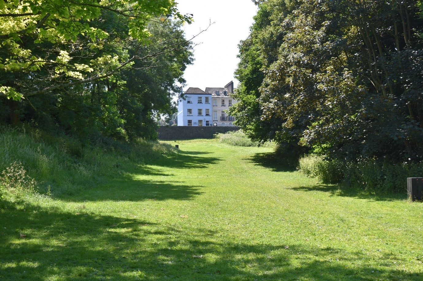
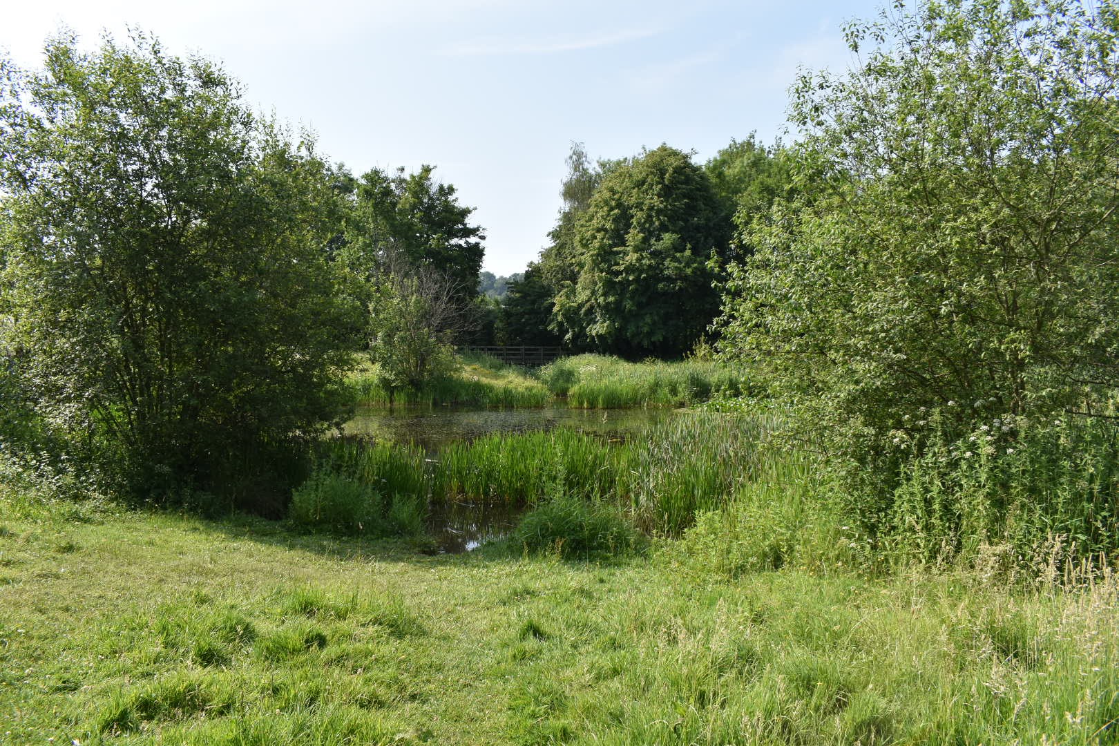
Drybridge Park is an arboretum that once formed part of the grounds of Drybridge House in Overmonnow. The park has a wonderful collection of specimen trees and is a delight in spring when the bulbs are in flower. On the opposite side of the road visitors will find Drybrigde Pond. The pond was installed to help reduce flooding and is served by a pump that can lift water into the river system. The Pond and its surrounding are a haven for wildlife and walking routes lead out into the countryside via Vauxhall Fields and further over the river to the north end of the town or to Osbaston. Parking is situated between Drybridge Pond and a large popular open-air skate park
Facilities and activities
- Arboretum
- Skate Park
- Countryside walks
- Pond
Pay and display parking in adjacent Drybridge Car Park
Vauxhall Fields
Location references: 51.813925, -2.731915
Nearest Postcode: NP25 5AA
Grid Ref: SO503126
What3Words: interviewer.text.balancing
Partially owned and managed by the county council, Vauxhall Fields is situated on the north west of Monmouth, bordering the river Monnow. It is a key environmental asset acting as a flood plain and important habitat for wildlife. Within the Fields is Vauxhall Camp, home to the Royal Monmouthshire Royal Engineers. In addition to the council owned meadows are privately owned farmland. Visitors to the fields are reminded that some of the land is in private faming use and in these areas, visitors should stick to the designated public rights of way and abide by the countryside code: Natural Resources Wales / The Countryside Code: advice for countryside visitors
The fields can be access by footbridges from the rear of Monmouth Castle, from Osbaston Road and From Drybridge Pond. Vehicles can access the site from Rockfield road although parking is limited.
Usk
Usk Park (Owain Glyndwr Fields), Usk
Location references: 51.699715, -2.902028
Nearest Postcode: NP15 1AD
Grid Ref: SO377004
What3Words: villa.invisible.loafing
This former Cattle Market site is an open space protected by Fields and Trust. It is a small formal park in the centre of the town comprising three distinct areas. Through the support of local residents and businesses who secured funding from the National Lottery, the play park was redesigned in 2017. Janes meadow is situated on the northern side of the park. This area has been specifically designed and managed since 1998 for wildlife by local volunteers. Sitting centrally between these two areas is the main more formal parkland with trees and shrubs. More recently, the grassland has been managed with Nature Isn’t Neat
principles to promote biodiversity and climate resilience.
Facilities and activities
- Large children’s play area
- Public Toilets
- Water refill station
- Community Centre
Pay and Display Car Park
Usk Island, Usk
Location references: 51.703898, -2.908167
Nearest Postcode: NP15 1SY
Grid Ref: SO373009
What3Words: horns.quitter.bells
Situated on the opposite side of the river to the town, Usk Island is a very popular open space for picnics. In summer many families enjoy a day at Usk Island using the playground, enjoying a paddle or wild swimming in the river. There is parking and toilets a few hundred yards north of the bridge, signposted “The Island”.
The park is also home to a local football team.
Facilities and activities
- Football pitch and stand.
- Large children’s play area
- Bar-B-Que stands.
- Access to the river
- Access to Public rights of way network and countryside walks
- Public toilet facilities in car park
- Catering van in car park
Small free car park at the north end of the site
Undy
Mill Common, Undy
Click here to go to our dedicated Mill Common webpage
Location reference: 51.581410, -2.8246826
Nearest Postcode: NP26 3LZ
Grid reference: ST 42954 87272
What3Words: tourist.kinks.overcomes
Facilities and activities
- Surfaced and unsurfaced paths
- Sculptures
- Benches
- Limited street parking
- Interpretation boards a range of leaflets and other resources
There are no car parks close by and access is predominantly on foot on numerous paths from the surrounding housing areas.