Update: 22/05/2026
Llanthony Valley road fully reopens – Click here to read more information.
Update: 07/04/2026
Please note that construction work has now started.
Update: 31/03/2026
Monmouthshire County Council confirms next step for Cwmyoy Landslip
Monmouthshire County Council has confirmed that it has agreed the next steps to deliver a permanent solution to the landslip at Neuadd Straight on the Llanthony Valley road.
Following the road closure on 30 January, the council will soon enter a contract with its preferred contractor, Griffiths, allowing construction work to commence on 7 April 2026.
Today (30 March 2026), the council can confirm that it has agreed to acquire the necessary land and enter into a legal agreement with the landowner to begin work on restoring access for residents through the valley. The work aims to provide a safe, sustainable, long-term solution.
The project is expected to be completed by 15 May 2026, depending on weather conditions and site constraints.
A Monmouthshire spokesperson said: “Monmouthshire County Council recognises the disruption caused by the ongoing road closure and the impact this has had on the local community. The council is continuing to work closely with residents, businesses and key stakeholders to minimise disruption during the construction period and to manage the impacts of the road closure while works are underway.”
Further updates will be shared with the community as the project progresses, including information on construction activity and access arrangements.
Statement from Monmouthshire County Council (MCC)
The significant landslip below the R1 between Cwmyoy and Llanthony first occurred on 30 January. Since then, the ground has remained unstable and continues to deteriorate. Substantial additional movement was recorded during the public visit on 2 February and again on 3 February.
Because the slip has formed a vertical edge immediately next to the carriageway, any further movement is likely to happen under the road surface. The tarmac may conceal signs of collapse until the moment failure occurs.
For this reason, the road remains extremely unsafe.
The road was closed on 30 January as the initial scale of the slip was unknown. The closure has allowed specialist geotechnical engineers to inspect the site. Based on their advice—and the continued deterioration—the road must remain closed due to the serious risk to public safety.
MCC recognises the disruption this causes. However, some members of the public have moved the concrete barriers and signage and have continued to use the road. A legally enforceable emergency closure is in place. MCC strongly urges the public not to ignore the closure. Barriers will continue to be reinstated, but repeated tampering is costly and dangerous.
MCC is working with relevant departments and partner organisations to coordinate appropriate measures for essential services including emergency access, school transport, refuse collection, and other key provisions.
The road will remain closed until a safe, engineered solution can be designed and delivered. MCC has now initiated the required investigation, monitoring, and design work.
Road Closure Information
Click here for R1, Cwmyoy NOTICE OF INTENTION
Geotechnical Report
R1 Cwmyoy Landslip Inspection Report Febuary 2026
Resident Impact Survey
Click here to find more information on the Residential Impact Survey
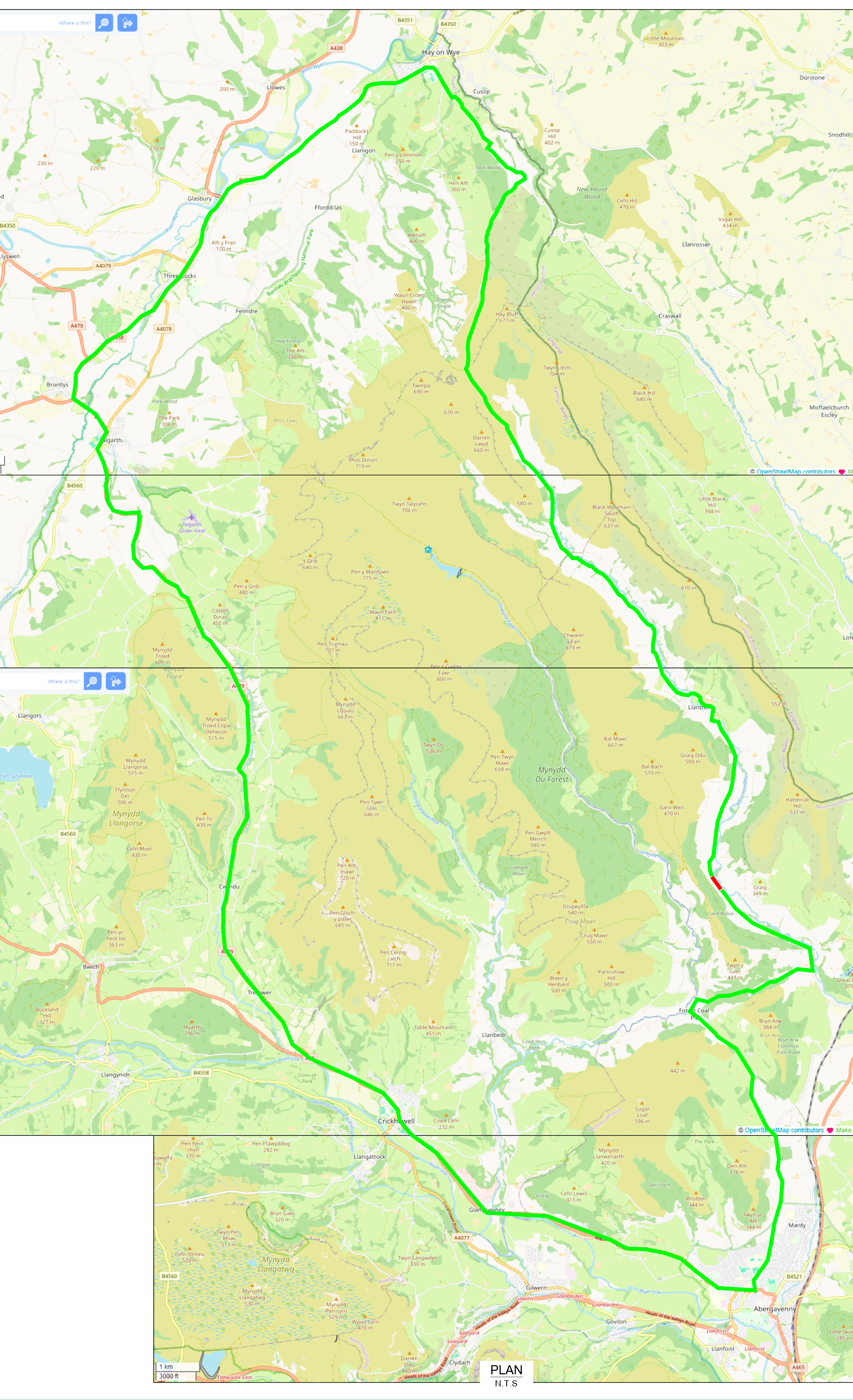
Location Plan
(click the map below to enlarge)
FAQs
Tampering With Barriers
It is an offence to interfere with road closure barriers or ignore a legal road closure, the closures are in place for safety reasons.
Under Section 16(1) of the Road Traffic Regulation Act 1984,
“A person who contravenes a restriction or prohibition imposed under Section 14 of the Act shall be guilty of an offence.”
This is enforceable and may result in legal action.
Why can’t the road reopen with temporary measures?
The slip continues to move and can fail without warning beneath the carriageway. No temporary measure can make the road safe to use.
What work is ongoing?
MCC and partners are progressing the following actions:
- Carrying out a full topographical survey
- Contacting statutory undertakers (utilities)
- Liaising with neighbouring local authorities
- Exploring all alternative routes
- Obtaining landowner permissions for access
- Arranging a full geotechnical ground investigation
- Developing a safe engineering design to reopen the road
How long will the road be closed?
The closure will remain in place until ground investigation, monitoring, design, and construction of a stabilisation solution are complete. Timescales will depend on survey findings.
How will residents receive updates?
Updates will be issued through MCC’s website, local communications, and direct engagement with affected communities.
Have we contacted mobile phone service providers about signal issues in the area?
Yes. We have contacted all the major mobile phone service providers to investigate whether there are any faults or disruptions affecting coverage in the area.
All providers — including EE, Vodafone, Three and O2 — have confirmed that there are currently no network outages or known service issues affecting the area.
Providers have also confirmed that 3G services are no longer in operation, which may affect older devices that do not support 4G. Some residents may notice weaker indoor coverage as a result of this change.
As the area is rural and remote, we were informed that pockets of low coverage are expected even when masts are functioning normally. Providers have advised that even if a mast were out of service, modern network features (such as vector overlay) mean this should not cause major disruption, and 999 calls can still connect via other available networks.
To help providers monitor issues more accurately, residents are encouraged to use their mobile network’s online service checker or contact their provider directly to report specific problems.
Have we contacted the Army / MOD for support and military assistance?
Yes. MCC has spoken directly with our MOD liaison officer to outline the situation and explore whether Military Aid to the Civil Authorities (MACA) could apply
We have been advised that a MACA can only be authorised under strict and specific criteria and in this case, the situation failed to meet their thresholds, with our request being unable to be progressed.
Has NRW been approached to seek permission to use the forest road above the valley?
Yes. We have engaged with NRW, who are looking into the feasibility of using the fire road as an alternative route for emergency services. Landslips have also impacted the route and is currently deemed unsuitable for general traffic, although the route has been accessed by Mountain Rescue. MCC has offered support if required, but the proposal for the road realignment is the preferred option for both short- and long-term access.
I’m struggling to pay my business rates. Who can I contact?
If you’re having difficulty paying your rates, you can contact counciltax@monmouthshire.gov.uk. They may be able to discuss a payment plan with you.
Can Council Tax Monmouthshire reduce, suspend, or change my business rates?
No. They cannot reduce, suspend, or make changes to business rates. Any changes must be made through the Valuation Office Agency (VOA).
How do I contact the Valuation Office Agency (VOA)?
Phone: 03000 505 505
Email: ctinbox@VOA.gov.uk
How can I check or challenge my council tax band or business rates?
Can I request a reduction in business rates?
Yes, but you must apply to the Valuation Office and provide evidence that you are losing money. The VOA will only consider reductions where financial loss can be proven.
For further information, or any additional queries, please email MCCAssetManagement@monmouthshire.gov.uk